
Stuben – Lech
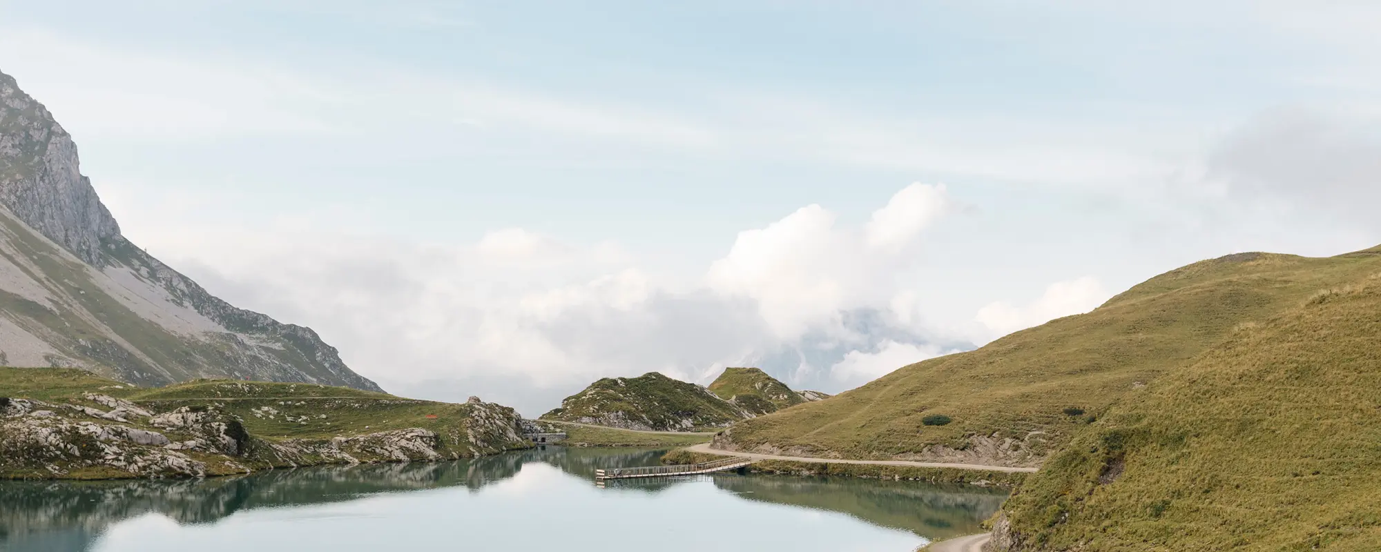
Amidst mountain lakes and scenic high-altitude trails
Stage Stuben – Lech
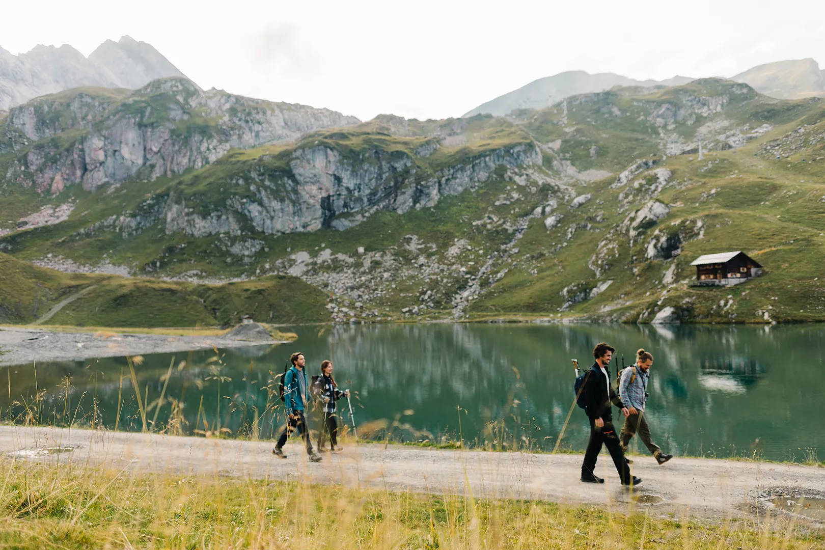
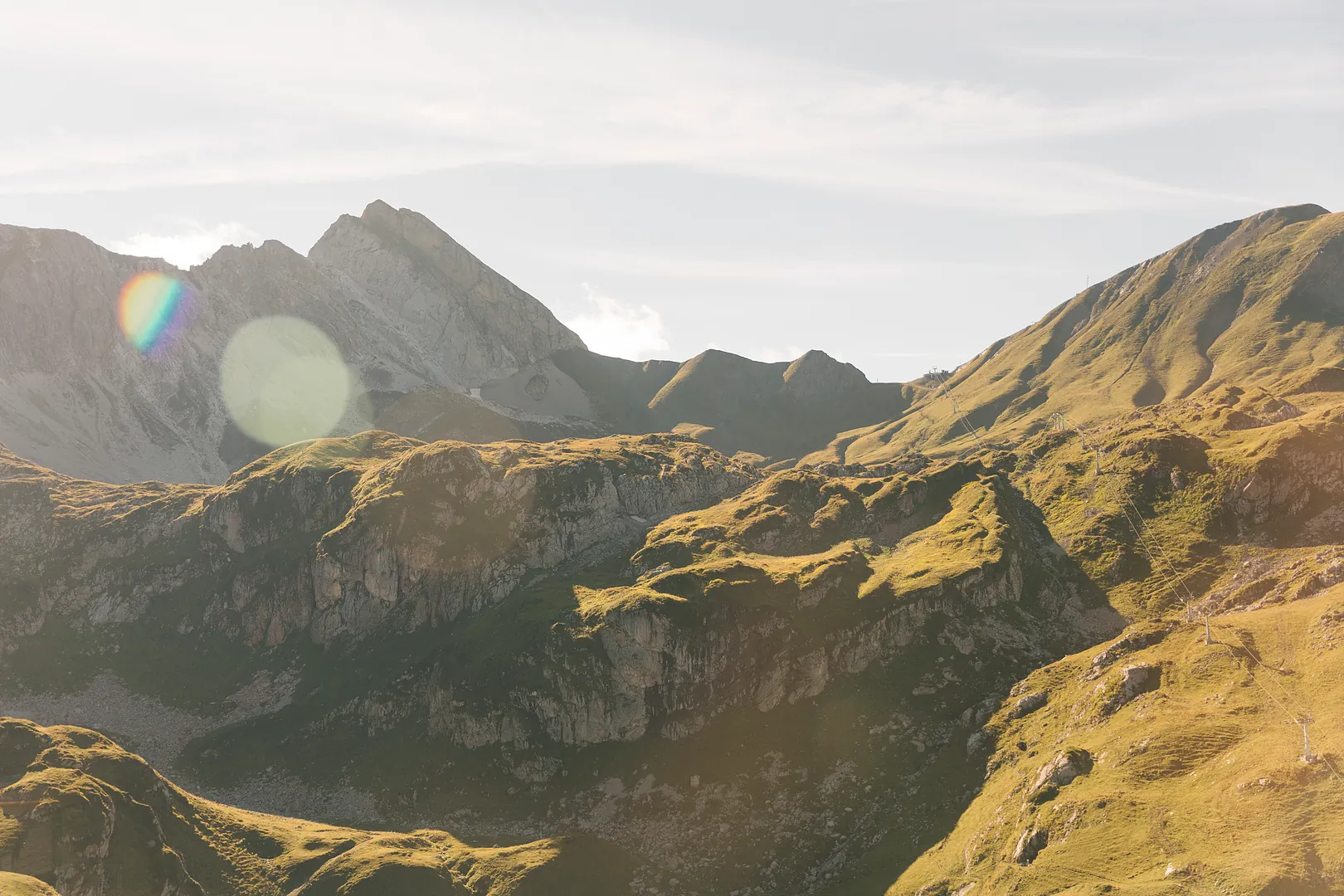
The second stage leads through the impressive high-alpine landscape surrounding the Flexen Pass. Along panoramic mountain trails, crystal-clear alpine lakes, and scenic ridge paths, hikers experience the diversity of the Arlberg region from a new perspective.
Highlights
- Flexen Gallery Road
- European Watershed in Zürs
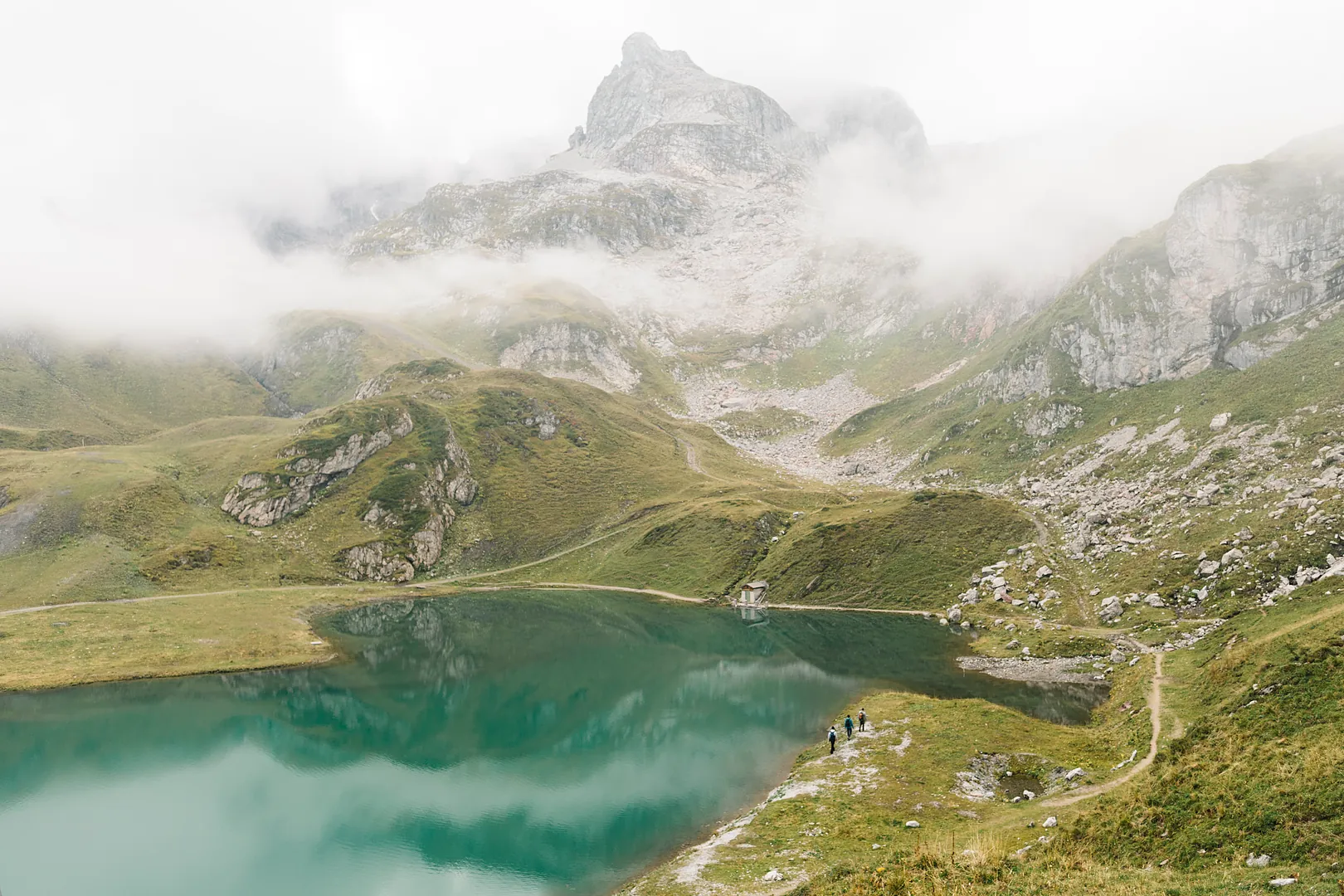
- Zürsersee
- Madlochjoch
- Views of Lech
Facts
- 3 route options
- 11 to 14 km
- 4:00 to 6:00 hours’ walking time
- Starting point: Stuben am Arlberg
- Finish: in Lech am Arlberg
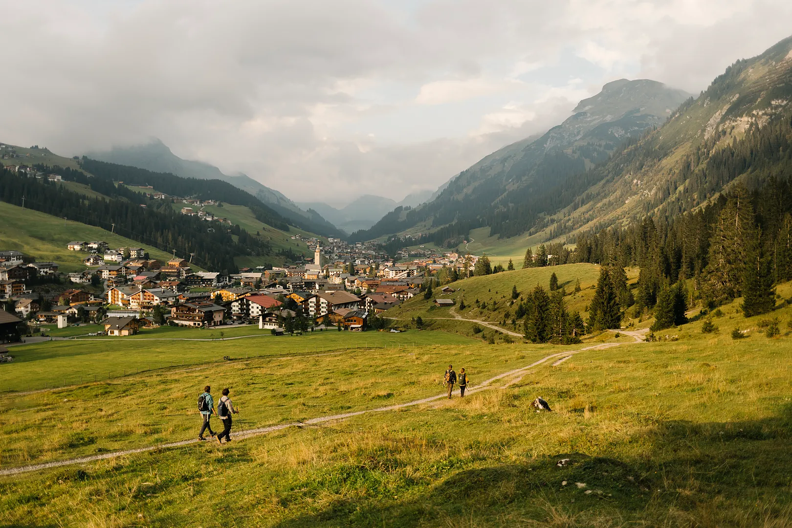

Original Route (Challenging)
From Stuben, the Franz Josef Trail ascends to the Flexen Pass and continues to Zürs. A ride on the Seekopfbahn takes you to an elevation of 2,212 m, where the route continues past Zürsersee and through striking alpine landscapes to the Madlochjoch. The descent leads via the Gstüatalpe mountain pasture down to Lech.
| Hiking time | ~ 6:00 h |
|---|---|
| Distance | ~ 13,5 km |
| Ascent | ~ 695 hm |
| Descent | ~ 1.165 hm |
| Required cable cars | Seekopfbahn |
-
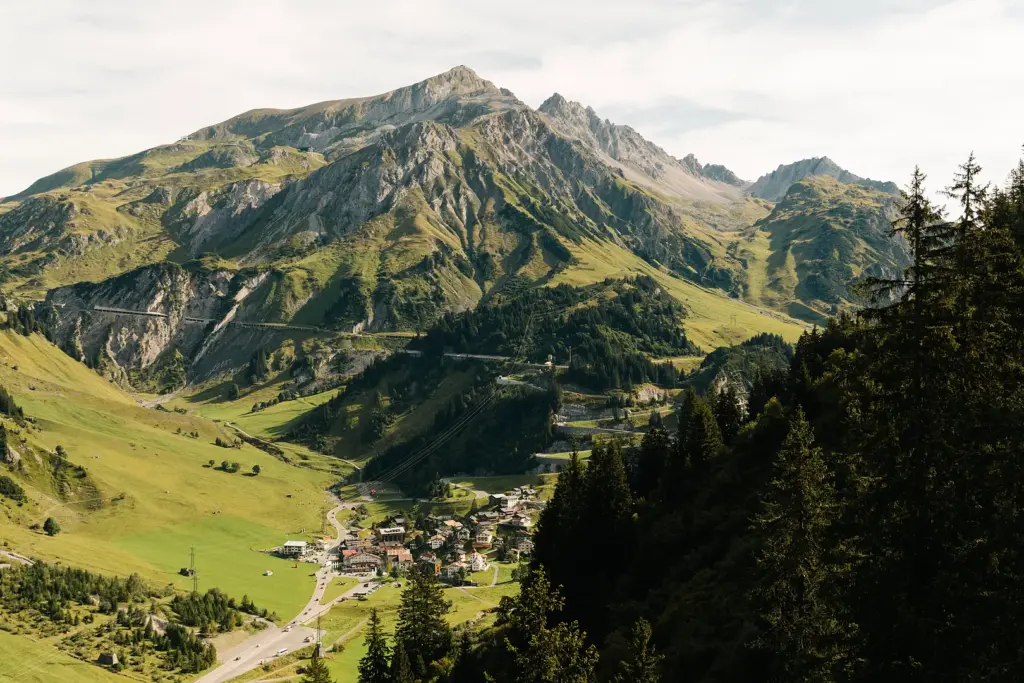
Stuben at a Glance
Stuben am Arlberg: Authentic, Peaceful and Rich in History For centuries, Stuben has been a place of arrival and departure. Situated directly on the Arlberg…
Moderate Route
The route follows the Franz Josef Trail from Stuben to the Flexen Pass, offering impressive views of the Flexen Gallery Road along the way. After taking the Seekopfbahn, the scenic descent begins at Zürsersee and continues via Wiesele down to Lech.
| Hiking time | ~ 4:30 h |
|---|---|
| Distance | ~ 12,5 km |
| Ascent | ~ 440 hm |
| Descent | ~ 920 hm |
| Required cable cars | Seekopfbahn |
-
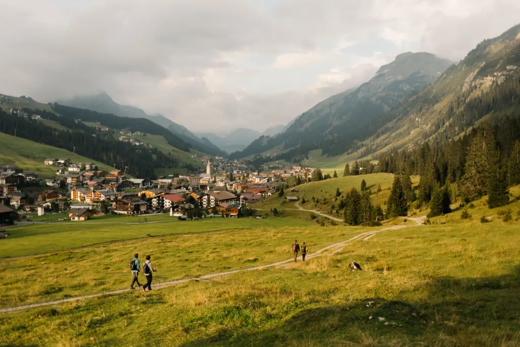
Lech at a Glance
Lech am Arlberg: Alpine Beauty Meets Refined Living Arriving in Lech along the Arlberg Trail means stepping into a world of crystal-clear mountain lakes, lush…
Easy Route
Starting in the centre of Stuben, the trail passes an impressive waterfall before climbing in switchbacks to the Flexen Pass. From there, the route follows a gentle descent through Zürs and along the Zürsbach stream to Lech.
| Hiking time | ~ 3:55 h |
|---|---|
| Distance | ~ 11,1 km |
| Ascent | ~ 492 hm |
| Descent | ~ 451 hm |