Lech – St. Anton
The most varied experience of the Arlberg Trail
Stage Lech – St. Anton
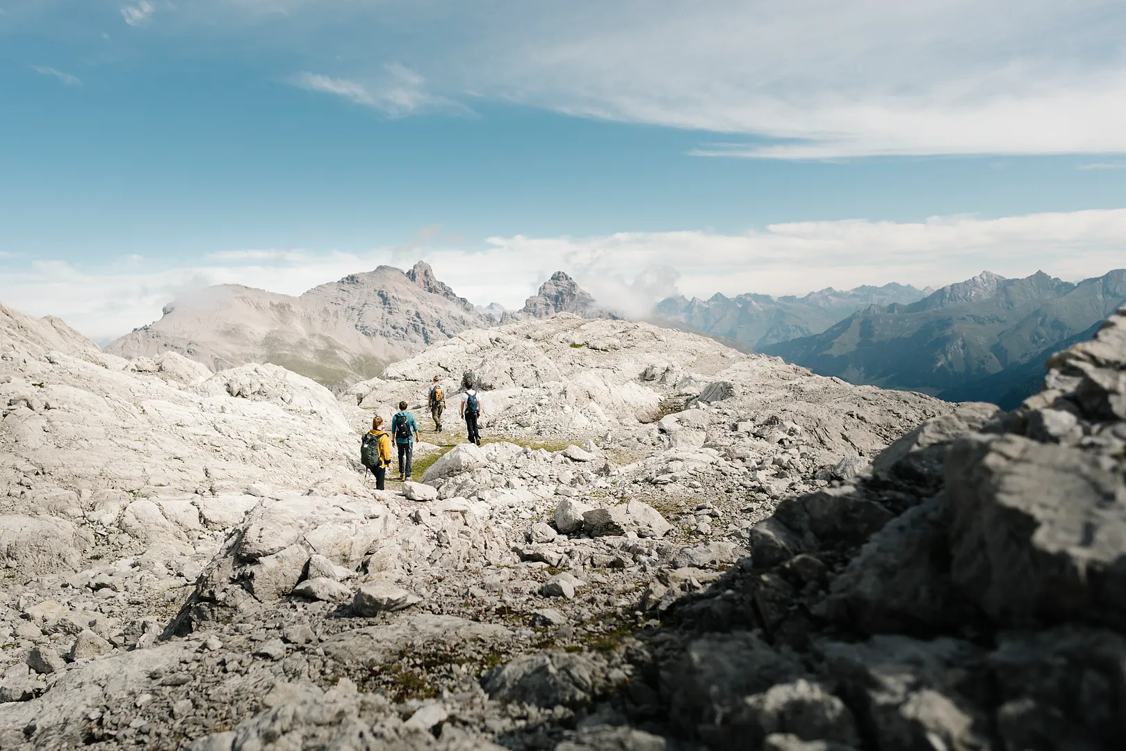
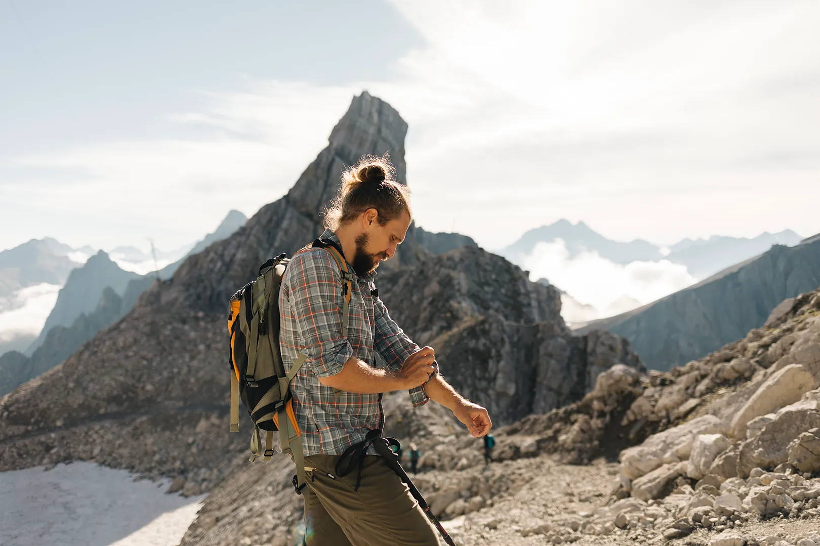
The final stage offers the most varied experience of the Arlberg Trail. From scenic high-altitude paths and alpine moorlands to spectacular mountain panoramas, this route connects the impressive mountain landscapes of Vorarlberg and Tyrol.
Highlights
- Panoramic views from Rüfikopf
- Rauhkopfscharte
- Stuttgarter Hut
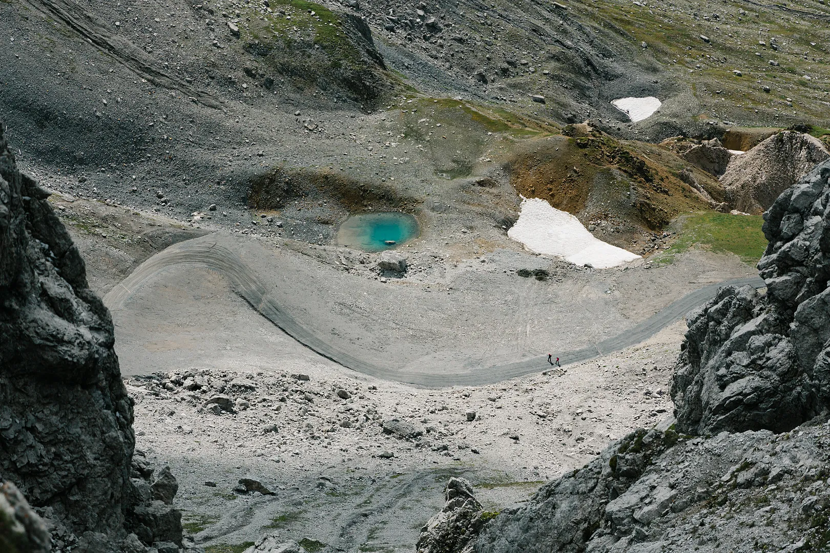
- Monzabon Lake
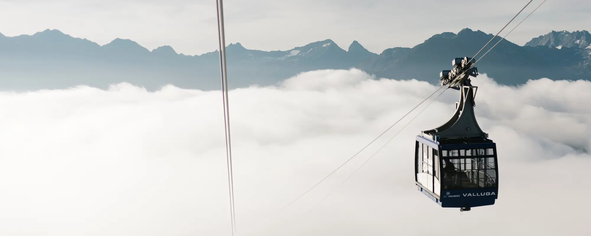
- Valluga
Facts
- 3 route options
- 6 to 14 km
- 2:00 to 7:00 hours’ walking time
- Start point: Lech am Arlberg
- Finish: in St. Anton am Arlberg
Original Route (Challenging)
The most demanding stage of the Arlberg Trail begins at Rüfikopf. The route leads through alpine moorlands and across the Rauhkopfscharte to the Stuttgarter Hut in Tyrol. After descending to Erlachalpe, the trail climbs once more, passing Knoppenkarsee before reaching Vallugabahn I. Together with the Galzigbahn, the lifts bring you back to St. Anton am Arlberg.
| Hiking time | ~ 7:00 h |
|---|---|
| Distance | ~ 13,4 km |
| Ascent | ~ 1.240 hm |
| Descent | ~ 912 hm |
| Required cable cars | Rüfikopfbahn (unbedingt erste Gondel nehmen), Vallugabahn 1, Galzigbahn (Achtung! Letzte Talfahrt beachten) |
-
Lech at a Glance
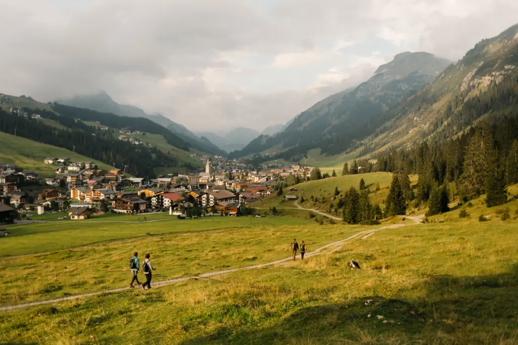
Lech am Arlberg: Alpine Beauty Meets Refined Living Arriving in Lech along the Arlberg Trail means stepping into a world of crystal-clear mountain lakes, lush…
Moderate Route
From Lech, a public bus takes you to the Trittkopfbahn in Zürs. Following the Zürsbach stream, the Gafri Trail leads towards Alpe Rauz. After ascending to Ulmer Hut, the route continues over the Arlensattel reservoir before descending to the Galzigbahn, which takes you back to St. Anton am Arlberg.
| Hiking time | ~ 5:00 h |
|---|---|
| Distance | ~ 11,0 km |
| Ascent | ~ 868 hm |
| Descent | ~ 519 hm |
| Required cable cars | Galzigbahn |
| Bus routes | 703, 750 oder 760 |
-
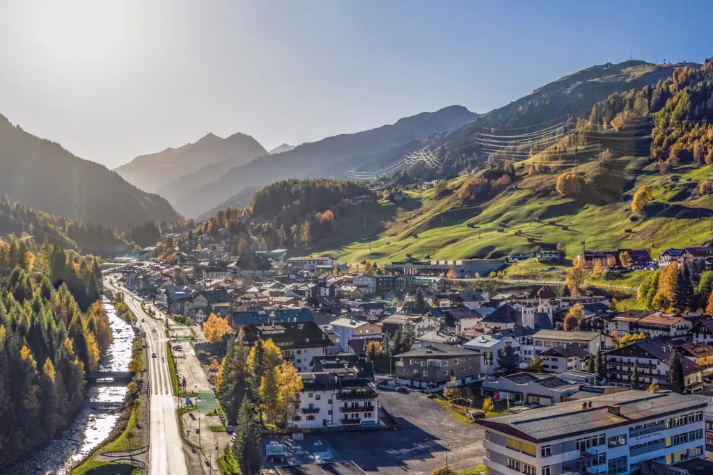
St. Anton at a Glance
St. Anton am Arlberg: Where Mountain Sports Feel at Home Anyone visiting St. Anton am Arlberg quickly realizes that the mountains here are far more…
Easy route
Starting from the upper station of the Rüfikopf cable car, the trail descends past Monzabon Lake and the Monzabonalpe mountain pasture to Zürs. From there, public bus route 760 takes you back to St. Anton am Arlberg.
| Hiking time | ~ 2:00 h |
|---|---|
| Distance | ~ 6,3 km |
| Ascent | ~ 90 hm |
| Descent | ~ 673 hm |
| Required cable cars | Rüfikopfbahn |
| Bus route | 760 |